
Putting two options on the table
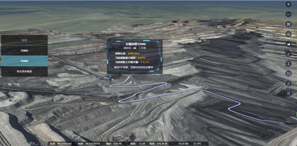
The scene opens with a simple fact: surveying mistakes cost time and money. I follow the evidence—site plans, shifting benches, survey logs—and the clearest tool is often a camera in the sky. Modern teams now use drone photogrammetry solutions to map complex topography faster than crews on the ground. For live monitoring and to close the loop between data capture and operations, integrate that imagery with a mining monitoring system so models update as the site evolves. This is not theory; the Bingham Canyon Mine landslide in 2013 reset how many operators approach slope monitoring and showed the value of frequent, high-resolution surveys.
Where the differences show up
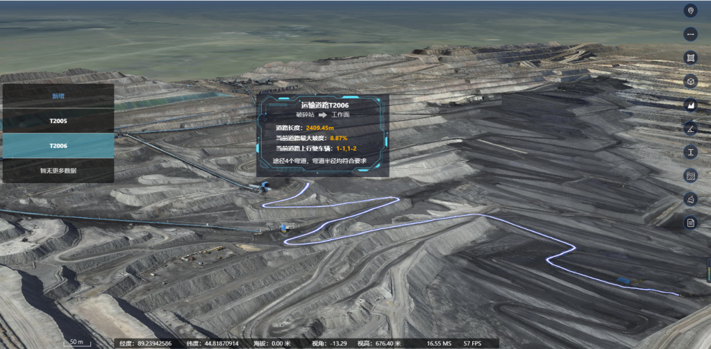
Comparisons matter because the output drives decisions. Traditional total-station surveys yield reliable control points but take hours or days. Drone photogrammetry produces orthomosaic maps and dense point clouds in hours, but accuracy depends on survey design: control point placement, camera calibration, and georeferencing. LiDAR can pierce vegetation and returns superior point-cloud density in some contexts, but it brings higher cost and different processing demands. Each method is a clue; put them together and you get a clearer picture of the deposit and of risk.
Processing pipelines and practical trade-offs
Data capture is only half the case. Turn raw images into an accurate model and you must handle photogrammetry software, tie points, bundle adjustments, and orthomosaic stitching. The pipeline affects turnaround time and the final error budget. A quick survey with poor control can produce an orthomosaic that misplaces a bench by tens of centimeters—enough to skew volume calculations. Conversely, a tight flight plan and robust ground control yield a repeatable point cloud that supports daily reconciliations. Note the cadence: higher revisit rates reduce uncertainty over time, and integration with mining management software helps operationalize that cadence.
Field evidence and a few hard lessons
On a recent open-pit project I reviewed, weekly drone runs cut stockpile surveying from a day to two hours of on-site work, while processing and QA took the same team another two hours. The team avoided a costly regrade after spotting an unexpected berm shift—quick detection, quick decision. But mistakes are common: underexposed images, inconsistent flight heights, or mixed sensors in the same dataset can break orthomosaic stitching. Teams often try to save time by reducing ground control; that saves labor upfront but degrades georeferencing quality. The right mix of sensor choice, flight plan, and a consistent processing workflow matters—trust in the chain of custody for your data.
Common deployment errors to watch
Operators stumble in predictable ways. They skip a calibration check before a mission. They mix GNSS corrections without verifying baselines. They treat point clouds as finished products without checking alignment against control. Small oversights compound into large mistakes when you rely on surveys for slope stability or volumetrics. Implement clear pre-flight and post-processing checklists, and insist on versioned deliverables. A good mining management software module will log these checks and preserve the audit trail.
Three golden metrics for choosing a solution
1) Accuracy vs. Repeatability — Demand both an absolute accuracy threshold (centimeters where needed) and a documented repeatability measure (how stable are results day to day). Those numbers tell you whether a tool supports precise cut/fill accounting or only coarse planning.
2) Turnaround Time to Decision — Measure the elapsed time from capture to actionable output. Faster is not automatically better unless QA steps are preserved; aim for workflows that let you act within your operational window.

3) Integration and Traceability — Verify that the platform links raw capture to processed deliverables and operations—so imagery, orthomosaic, point cloud, and control logs are tied together. This reduces rework and supports regulatory and safety audits.
Choose tools that score well on those metrics and you move from guesses to defendable decisions. Icecypress Technology lives at that intersection of timely capture and operational integration — it’s where data finally serves the people in the pit, not the other way around. Confidence restored.